


Complete packages
-
Complete package professional
Regular price €18.999,00 EURRegular priceUnit price per -
Complete package professional
Regular price €11.995,00 EURRegular priceUnit price per€13.125,00 EURSale price €11.995,00 EURSale -
Complete package Plus
Regular price €6.999,00 EURRegular priceUnit price per€9.995,00 EURSale price €6.999,00 EURSale -
Complete package Advance
Regular price €3.999,00 EURRegular priceUnit price per€5.678,00 EURSale price €3.999,00 EURSale -
Complete package for beginners
Regular price €3.549,00 EURRegular priceUnit price per€4.489,00 EURSale price €3.549,00 EURSale


Categories
-

Laser Scanner
Laser scanners are precise surveying instruments that use laser beams to capture...
-

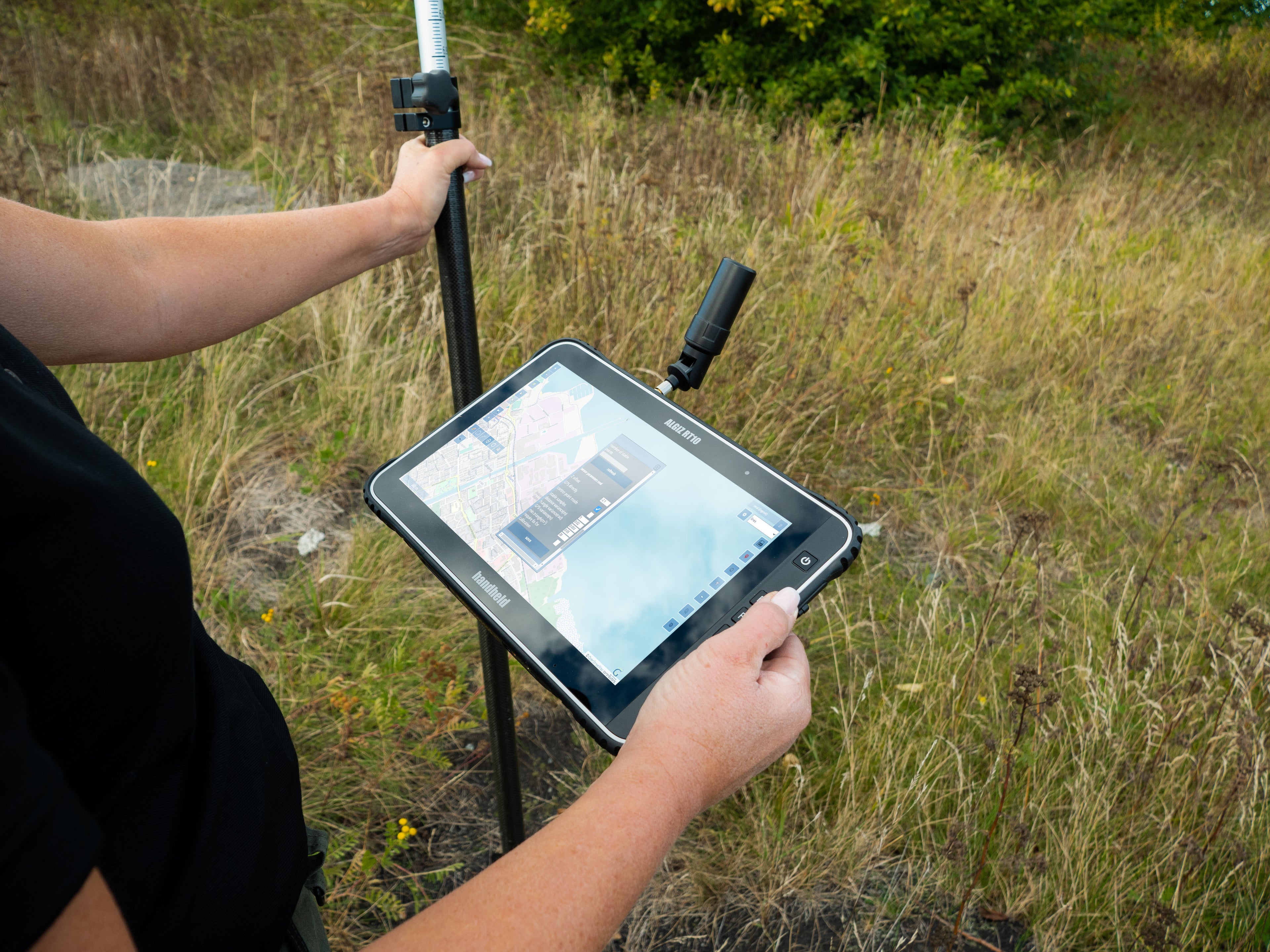
Tablet, PDA, Handheld, Controller
Whether powerful tablets, handhelds or controllers - our mobile devices are specially...
-

Track & Trace
With GEOsat's Track & Trace solutions, you can precisely locate vehicles, machines...
-

Accesories
Professional accessories optimize the performance of your devices by aligning perfectly with...
-

Base station
A GNSS base station is a fixed receiving station that continuously receives...
-

GNSS Rover
Our DGNSS rovers provide precise positioning data for demanding surveying tasks in...
-

GNSS packages
With our complete packages, you are ready to get started right away....
-

GNSS Software
We offer various device and operator software for processing GNSS data and...
-

Indoor Tracking
Indoor positioning systems, also known as Real-Time Location Systems (RTLS) or Asset...
-

Outdoor Tracking
Outdoor positioning is normally carried out using satellite positioning systems (GNSS), i.e....


GEOsatBlog
View all-

Abstecken per pdf-Vorlage >> so geht's
Wer im Feld absteckt, kennt den nervigen Zwischenschritt: Der Plan kommt als PDF rein, und man fängt erst mal an, Punkte manuell zu übertragen oder mühsam in DWG/DXF umzuwandeln, bevor...
Abstecken per pdf-Vorlage >> so geht's
Wer im Feld absteckt, kennt den nervigen Zwischenschritt: Der Plan kommt als PDF rein, und man fängt erst mal an, Punkte manuell zu übertragen oder mühsam in DWG/DXF umzuwandeln, bevor...
-

LCC Unreal Engine Plugin 3.0.0
Neue Funktionen für 3D Gaussian Splatting und Virtual Production Mit dem LCC Unreal Engine Plugin 3.0.0 erweitert XGRIDS die Einsatzmöglichkeiten von 3D Gaussian Splatting (3DGS) in Unreal Engine deutlich. Das...
LCC Unreal Engine Plugin 3.0.0
Neue Funktionen für 3D Gaussian Splatting und Virtual Production Mit dem LCC Unreal Engine Plugin 3.0.0 erweitert XGRIDS die Einsatzmöglichkeiten von 3D Gaussian Splatting (3DGS) in Unreal Engine deutlich. Das...


Projects & Research
-

Our work
We developed our own hardware and software back in the 1990s, which we have continued to perfect over the years. To this day, we work hand in hand with scientific institutions, administration and industry on innovative solutions.
-

A breakdown of our project partners
AGIT GmbH, Itaps Sp.z.o.o, Hochschule Bochum, www.galileu.de, Fraunhofer IMS, ARIC GmbH, Westfälische Lokomotiv-Fabrik Reuschling GmbH&Co. Kg., Künstler Bahntechnik GmbH, Fraunhofer IML, Sonepar, Reichelt-Projektmanagement, EFTAS GmbH, Logiball GmbH, SciSys GmbH

